






























US-India Satellite Delivers First Data, Reveals ‘Hummingbird’ Pattern in Antarctica
The joint US-India satellite mission has delivered its first data, revealing a striking “hummingbird” pattern in Antarctica and marking a key step in Earth-observation research.

Unlocking Earth's Frozen Secrets with Space-Age Radar
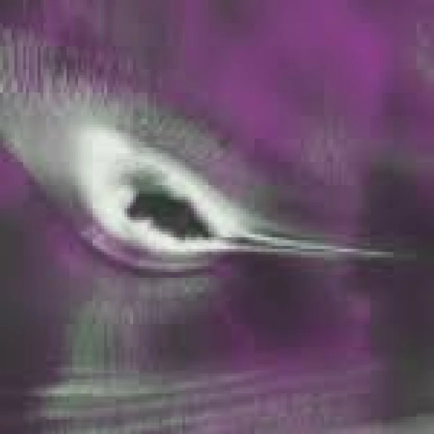
The joint US-India NISAR (NASA-ISRO Synthetic Aperture Radar) mission has officially unlocked its vast treasure trove of data for the world, marking a massive leap forward in international Earth observation. Alongside this long-awaited public data release, mission scientists at NASA’s Jet Propulsion Laboratory shared a breathtaking radar capture from the icy expanses of Antarctica that bears an uncanny, stunning resemblance to a hummingbird caught mid-flight.
The Science Behind the Antarctic "Hummingbird"
While the striking silhouette has quickly captivated space enthusiasts online, the "bird" is actually a dramatic real-world geographical formation known as Nunatak Zaterjavshijsja—a sharp, jagged mountaintop poking right through the thick ice sheet of East Antarctica. As ancient, slow-moving glaciers grind past this rocky obstacle, intense mechanical stress fractures the surrounding ice into intricate fields of deep crevasses.
-
Penetrating the Frost: Unlike traditional optical satellites that rely on visible sunlight and clear skies, NISAR uses advanced microwave radar technology. This allows it to peer right through snow and stormy weather to map structural details that would otherwise stay hidden.
-
The Physics of Color: The vibrant hues in the image aren't artistic filters; they are the result of how radar signals bounce back. Smooth ice reflects waves uniformly and glows magenta, while rough, shattered crevasse walls scatter the signals in multiple directions to trace out the sharp, glowing green wings of our accidental avian visitor.
A New Era for Global Science and Observation
Developed hand-in-hand by NASA and the Indian Space Research Organisation (ISRO), NISAR is a true engineering marvel, serving as the very first satellite to carry two distinct Synthetic Aperture Radar systems—NASA’s L-band and ISRO’s S-band—mounted onto a massive 39-foot deployable mesh antenna. With the data pipeline now fully open to researchers, students, and the public via platforms like NASA's archives and ISRO's Bhoonidhi portal, scientists around the globe have unprecedented tools to track shifting ice sheets, monitor vulnerable ecosystems, and respond to natural disasters with breathtaking precision.
What's Your Reaction?
 Like
0
Like
0
 Dislike
0
Dislike
0
 Love
0
Love
0
 Funny
0
Funny
0
 Angry
0
Angry
0
 Sad
0
Sad
0
 Wow
0
Wow
0